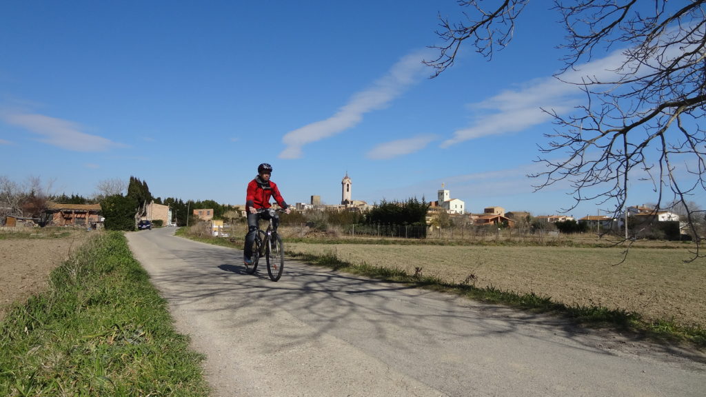
- CYCLE TOURING ROUTES
Between the land and the sea
PALAMÓS - CALONGE I SANT ANTONI
-
- Punt d’inici:
- Oficina de Turisme de Palamós
- Desnivell:
- 128 m positive
- Senyalització:
- Tracking indicator (red mark)
- Durada:
- 1 h 30 min
- Distància:
- 20,8 km
INDICATIONS:
Palamós - Sant Antoni de Calonge - Calonge - Palamós - Palafrugell - Platja de Castell - La Fosca - PalamósCOMPARTEIX A LES XARXES SOCIALS:


