- Punt d’inici:
- Oficina de Turisme de Pals
- Desnivell:
- 116 m positive
- Senyalització:
- Tracking indicator (red mark)
- Durada:
- 1 h 50 min
- Distància:
- 23,6 Km
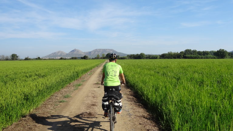
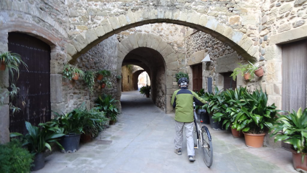
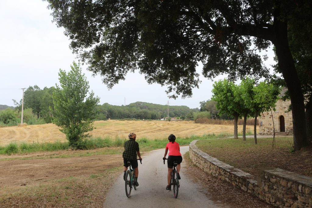
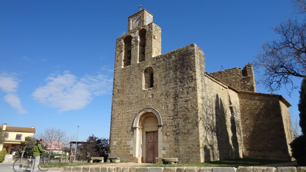
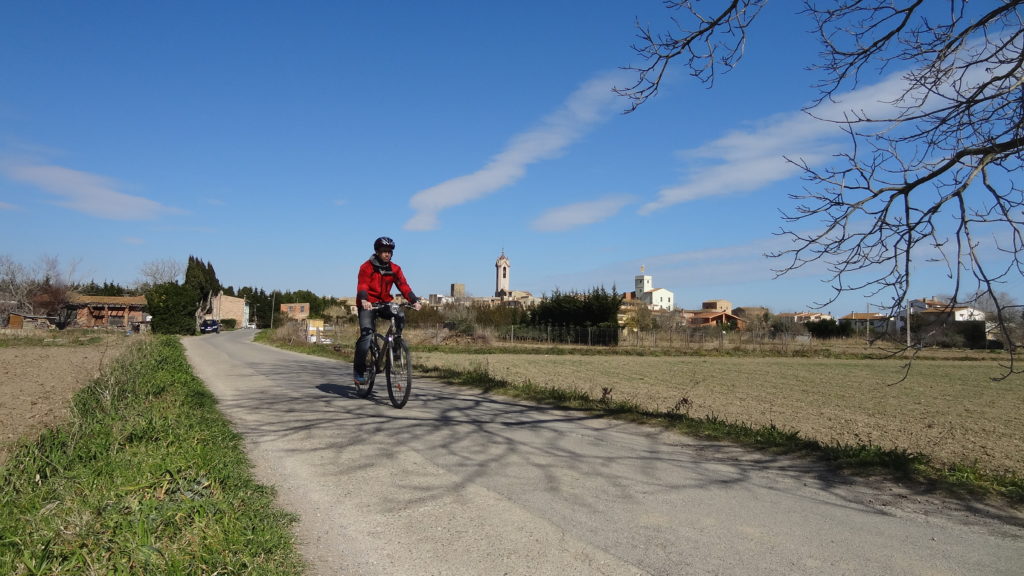
This route runs through the lower part of the River Daró, a land of marshes, which combines streams and irrigation channels with slightly raised mediaeval villages. The countryside is initially full of apple trees soon replaced by rice fields.
INDICATIONS
Pals - Sant Feliu de Boada - Sant Julià de Boada - Fontclara - Fontanilles - Torroella de Montgrí - Platja de la Fonollera - Platja de Pals - Pals
COMPARTEIX A LES XARXES SOCIALS:


