- Punt d’inici:
- Plaça del Mercat municipal carpark
- Desnivell:
- 332 m
- Senyalització:
- The whole of the route is signposted with information signs and painted markers. Follow GR (red and white markers), PR (yellow and white markers) and SL (green and white markers).
- Durada:
- 4 h
- Distància:
- 17,28 km
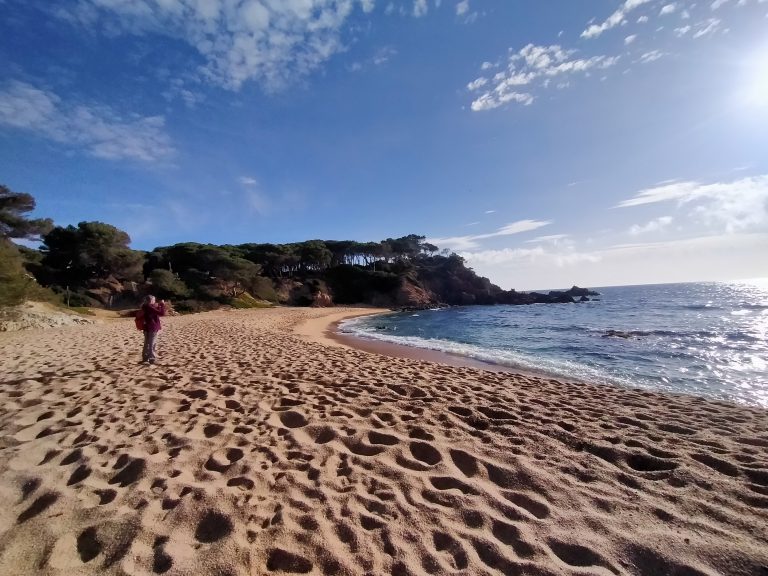
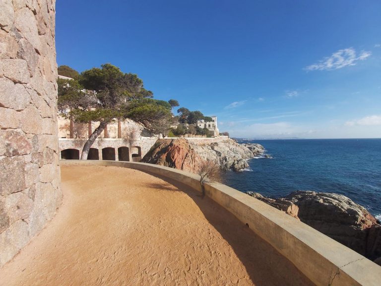
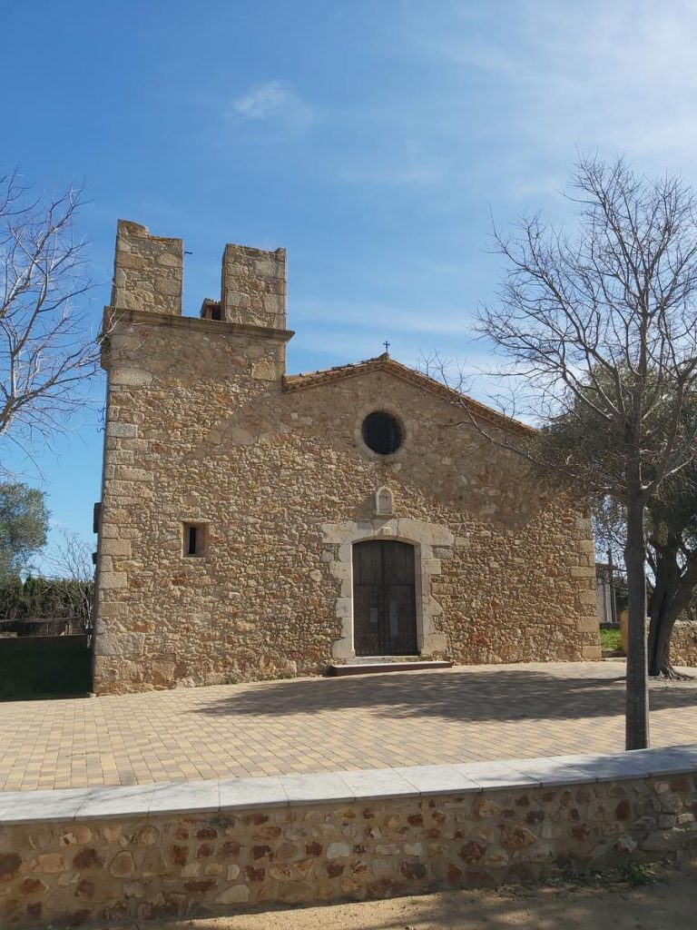
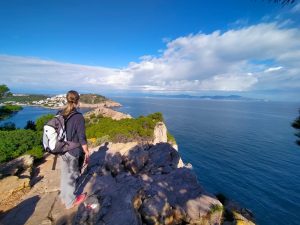
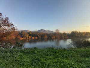
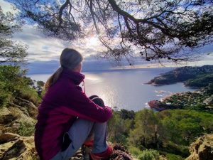
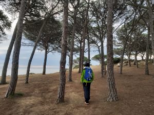
This is a very charming itinerary that passes through the municipality of Castell-Platja d’Aro-S’ Agaró from bottom to top. You will pass the mouth of the Ridaura on the coastal path that leads to S’Agaró, head through Castell d’Aro and come to Roques Martines, a beautiful, elevated and peaceful place.
COMPARTEIX A LES XARXES SOCIALS: